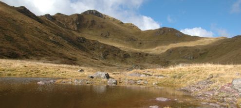
Along the “Lake Wolayer” Geotrail you will discover the remains of an ancient ocean and its fossilised inhabitants
Length: 4,8 km
Difficulty: Moderate
Read more
The Pramollo-Nassfeld cross-border Geotrail allows observing in detail the sedimentary rocks deposited at the end of the Carboniferous, the penultimate period of the Paleozoic Era.
Length: 10,7 km
Difficulty: Moderate
Read more
Carboniferous and Permian are well represented north of the Cason di Lanza Pass with rich fossil records: plants, bivalves, brachiopods, but also large amphibians’ footprints.
Length: 11,40 km
Difficulty: Moderate
Read more
This geotrail is laid out on the slopes of Monte Zoufplan and lets the observer examine the transition between the Dimon Formation
Length: 4,4 km
Difficulty: Easy, Moderate
Read more
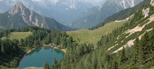
The route allows you to reach sites of great beauty, such as the Alpine lake of Bordaglia, and to take in the evident signs left by the Hercynian and Alpine Orogenies and by the erosive action of glaciers in the landscape.
Length: 13 km
Difficulty: For expert hikers only
Read more
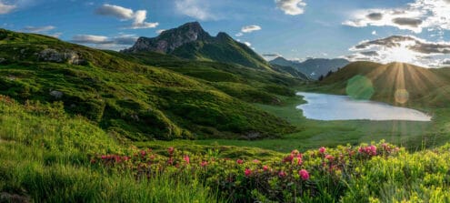
The wonderful alpine landscape to the south of the Zollner Höhe is a paradise for pleasure hikers and families.
Length: 4,4 km
Difficulty: Easy, Moderate
Read more
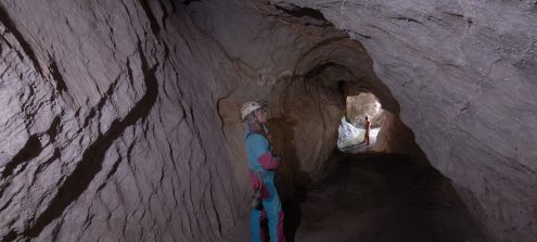
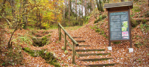
This geo-excursion lets the observer examine the karst phenomena that characterize the limestone outcrops of the Alta Valle (upper valley) of the Bût torrent. The itinerary also leads to the karst source of the Fontanon and to one of the caves that form the complex subterranean system of the mountain overlooking the village of Timau.
Length: 4,7 km
Difficulty: Moderate
Read more
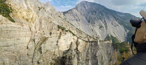
Along this route you will be able to observe aspects linked to landslides, erosion and the accumulation of debris.
Length: 4,2 Km
Difficulty: Easy, Moderate
Read more
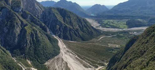
The site's name says a lot: the "Rivoli Bianchi", in fact, is the fan of debris that opens before us, at the foot of Mount Amariana, descending from the deep fracture through which the Rio Citate flows. Its scientific name is "alluvial cone", and what we are facing is one of the largest active cones in Europe.
Difficulty: Moderate
Read more
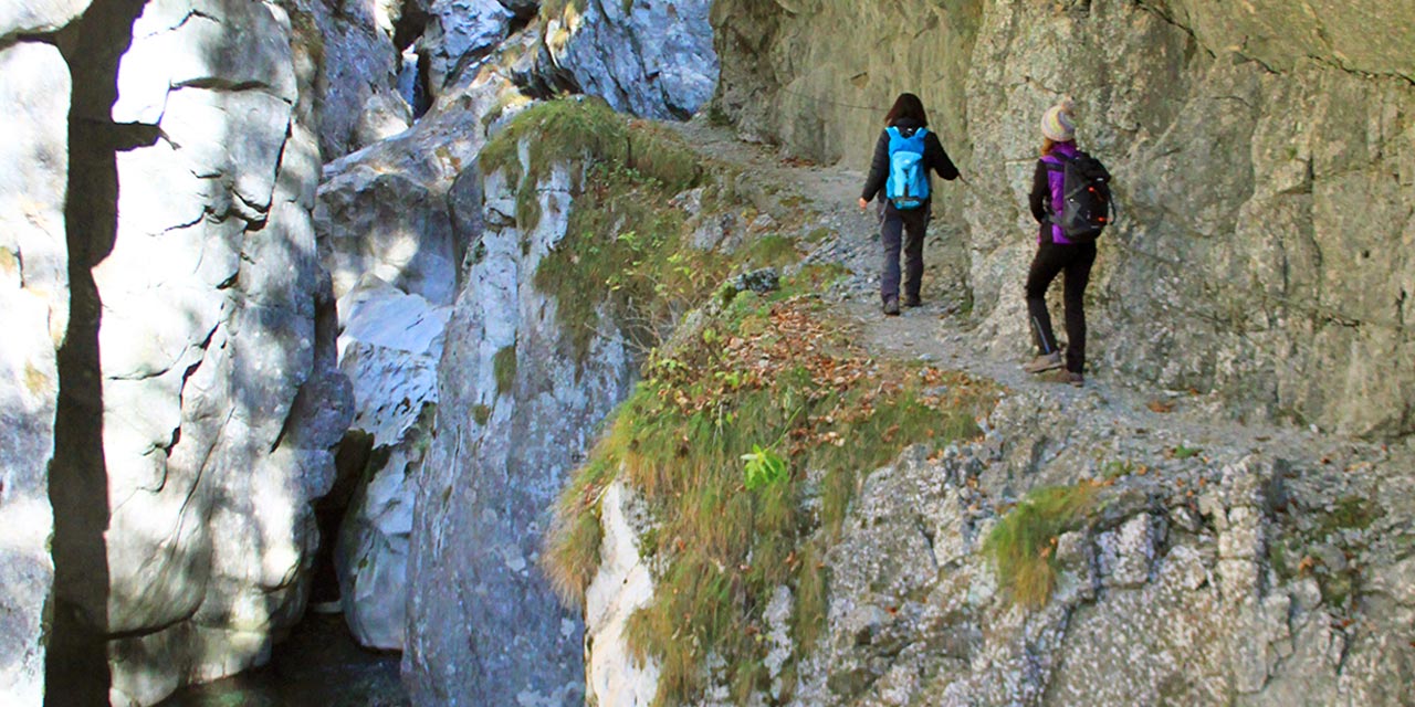
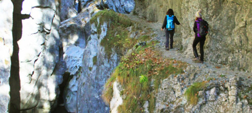
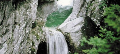
The Las Calas gorge is a natural monument carved out of the rock by water, which has polished it, creating evocative scenes. Along the way we can observe also the result of the enormous forces in action during the two orogenies and the crustal deformations that shaped the outcropping rocks.
Length: 3,35 km
Difficulty: For expert hikers only
Read more
Ancient fossil trees and the force of water characterize this Geotrail.
Length: 5,3 km
Difficulty: Easy
Read more
This route allows you to learn more about the palaeontology and geology that make the Preone area a site of international interest.
Length: 4km
Difficulty: Easy
Read more
Breathtaking views can be enjoyed all along the route, accompanied by the thunderous waters of the Garnitzen brook. The water has cut its way deep down into the rock, creating a polished surface and offering fascinating views of the inside of the mountains and rocks.
Length: 6,6 km
Difficulty: Moderate
Read more