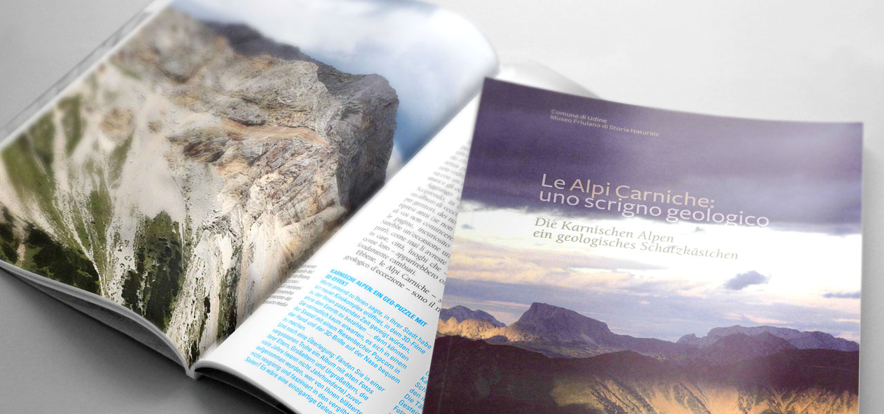
The cross-border Geopark of the Carnic Alps develops around the Carnic Chain, in the section shared by the Friuli Venezia Giulia Region and the Land Carinthia.
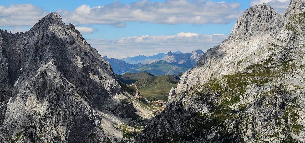
The Paleocarnic chain develops along the border ridge and includes the territory of Avanza-Volaia-Coglians-Timau-Lanza, the area of the Basin of Pramollo and to the north the area of Malborghetto.
The trait d'union is given by the outcrops of Palaeozoic rocks with their important fossil content. The adjacent reliefs and valleys should be added to this core area, that makes it possible to faithfully reconstruct the geological history of the Palaeozoic Era (from 545 million years to 250 million years ago). They too safeguard a geological heritage of primary importance.
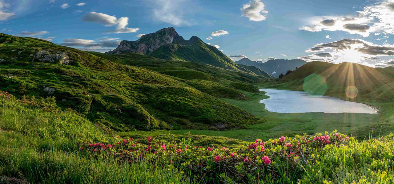
First of all, the Tagliamento high valley, which develops on the border between the Alps and the Carnic Prealps: the massifs of Pramaggiore, Bivera, Verzegnis, the Pesarine Alps and the Cucco-Tersadia mountains narrate the Triassic geological history. The last millions of years history of the Tagliamento river can be reconstructed in this valley.
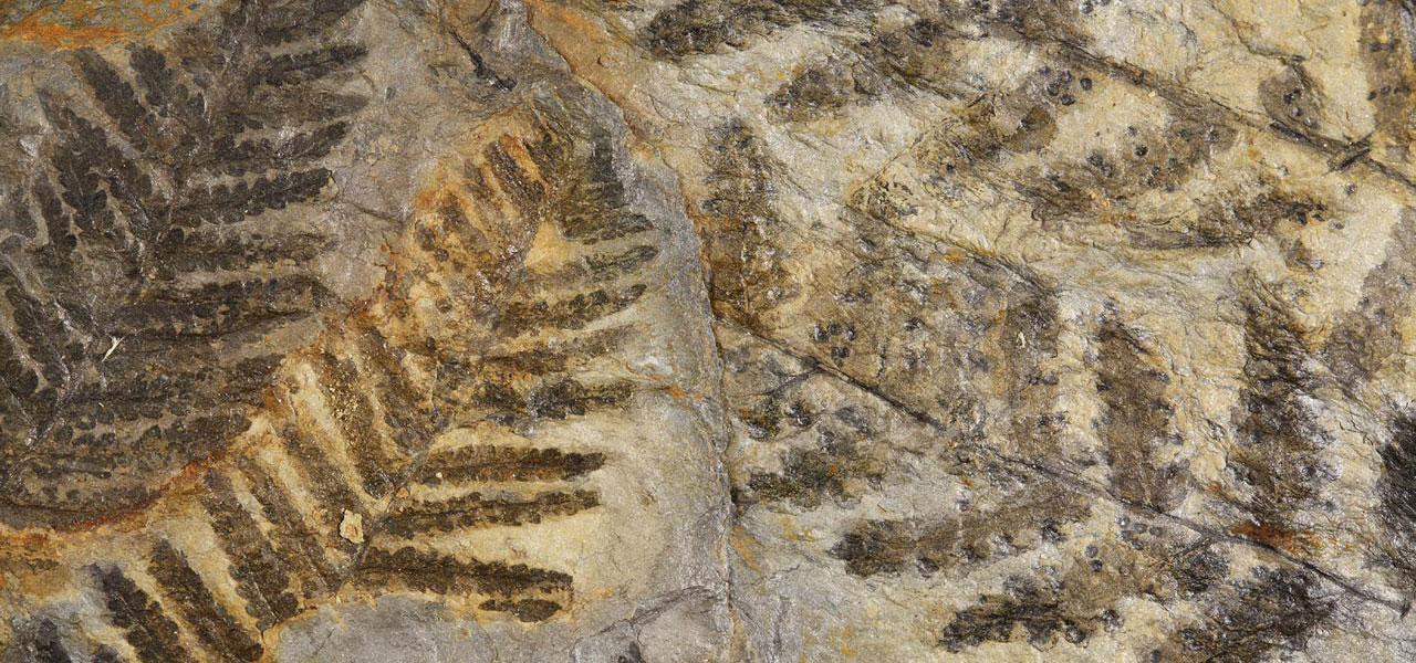
From the fossiliferous sites of the Triassic, with the most ancient flying reptiles in the world enclosed in the Dolomites of Forni, to the carboniferous deposits, originated from the forests that followed the seas; from the Alpine orogeny to the glacial and fluvial modelling of the Quaternary. The exploration of the cross-border Geopark of the Carnic Alps offers a clear panoramic view of 450 million years of geological history!
The administrative boundaries of the Geopark
Although Geology transcends the boundaries imposed by man, the cross-border Geopark of the Carnic Alps has a well-defined administrative area. Its western limit is represented by the border with the Veneto region, while on the Austrian side it extends up to the M. Antola / Steinkarspitz. To the east, it includes the Osternig and the Acomizza mountains, and the municipalities of Malborghetto-Valbruna and Feistritz am Gail.
On the Austrian side the Geopark includes the territories of the municipalities of Lesachtal, Kötschach-Mauthen, Dellach am Gail, Kirchbach, Hermagor, Gitschtal, St. Stefan im Gailtal and Feistritz am Gail, covering an area of 828 km².
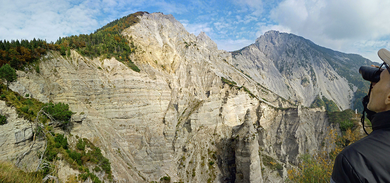
On the Italian side the Geopark includes the Carnic ridge from the western regional border up to the territories of Moggio Udinese, Pontebba and Malborghetto-Valbruna (up to the limit represented by the river Fella); to this area are added the Dolomites Pesarine, the area of Mount Cucco, the Tolmezzo Pre-Alps, and significant portions of the Carnic Prealps including the important Paleontological site of Preone. The Italian side covers an area of about 1500 km².
What to see in the Crossborder Geopark of the Carnic Alps:
Geological Evolution
This is the only area in Italy where you can see rocks and fossils dating back to the entire geological timeline.
Palaeontology
The Geopark area contains fossil sites of international importance!
Geosites
Geosites are sites or areas with a significant geological interest. Geosites have been listed by the Region Friuli Venezia Giulia.
Geotopes
Geotopes are limited sites with geological peculiarities. Geotopes are listed in particular on the austrian area.
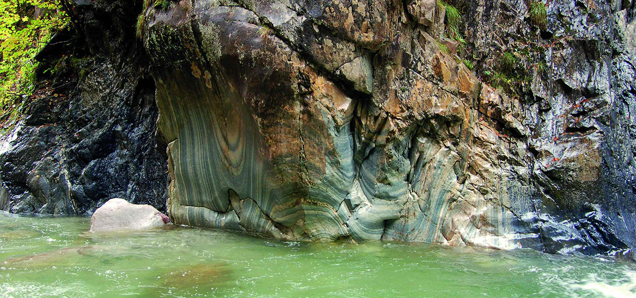
Karst
Many karst phenomena are available on the geopark area.
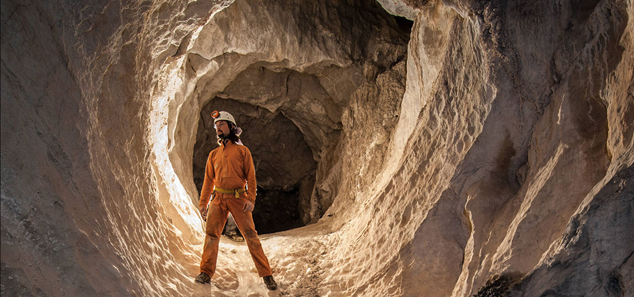
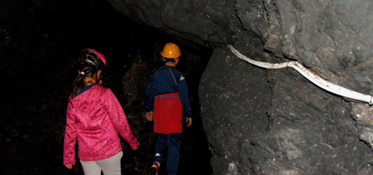
Ancient and modern mines and quarries
Both ancient and still open mines tell of the relationship between man and geology.
Rivers and lakes
Many phenomena are related to the action of surface water on the rocks: karst phenomena, glacial lakes, swamps and bogs
Download our materials