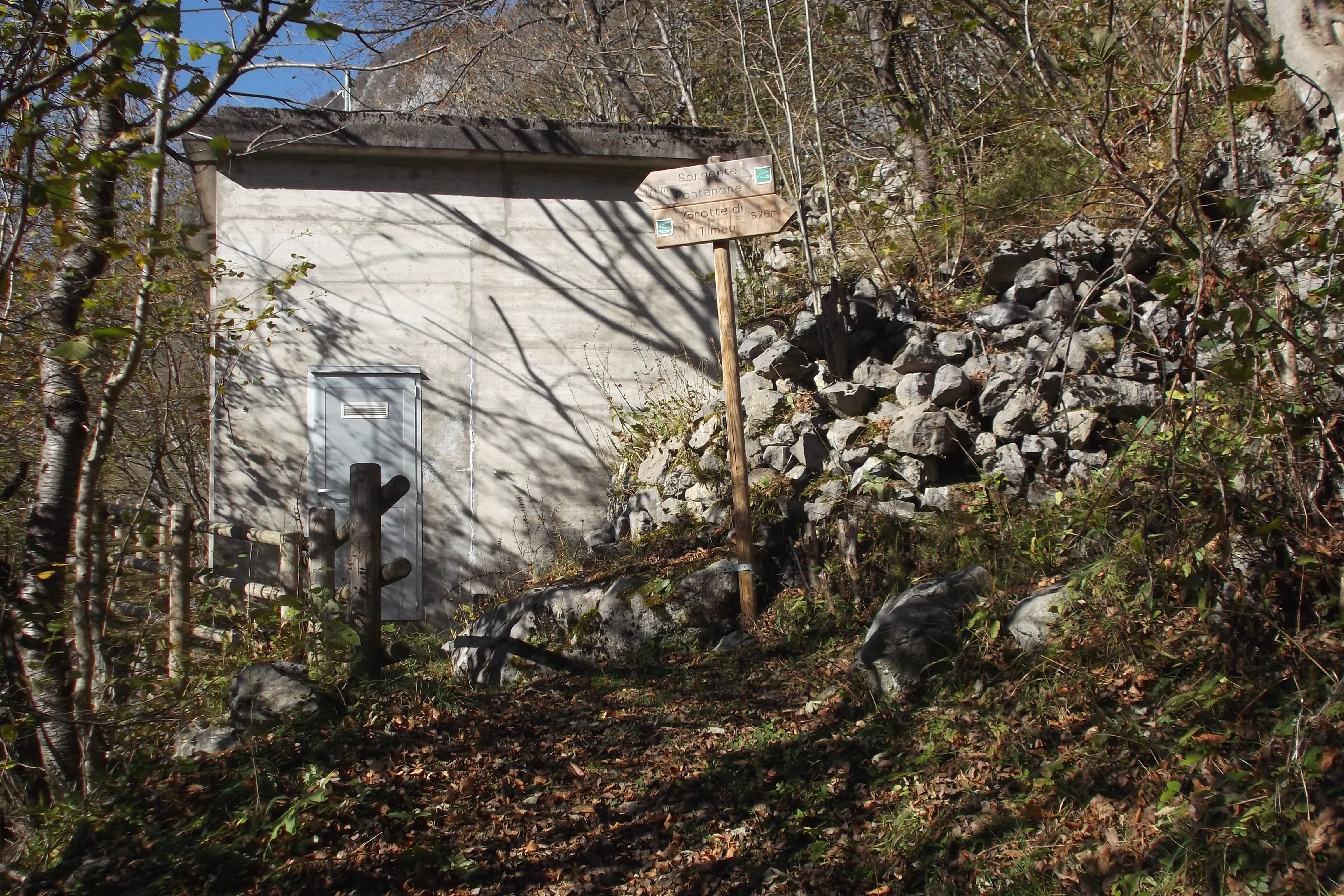
Along the CAI path no. 420, near the aqueduct building, a detour to the left leads to the source of the Fontanon di Timau, a Geosite of regional importance. This is a powerful perennial karst spring and has been known since Roman times. Today its waters are used to generate …
Read more Captation of the Source of the Fontanon di Timau
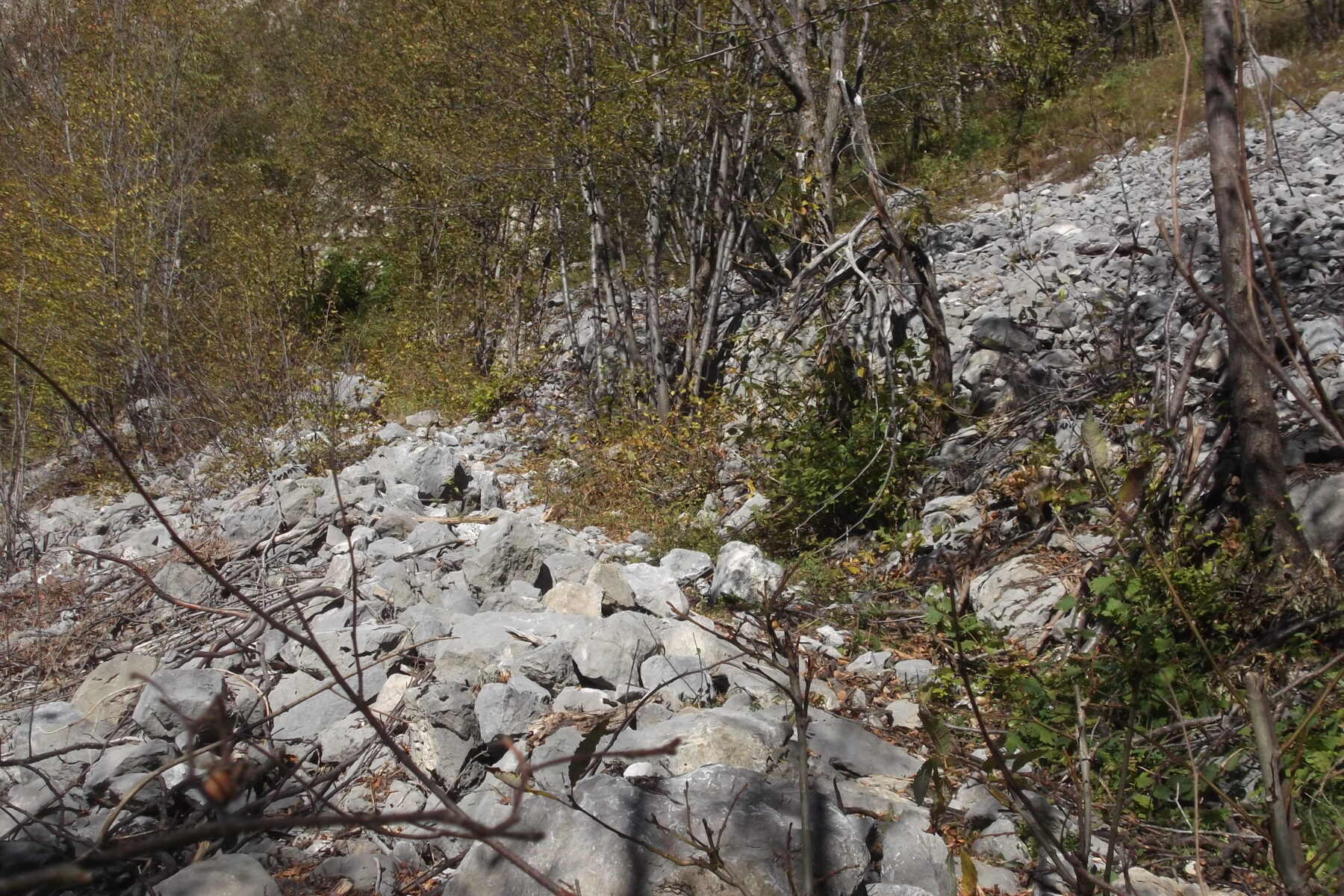
Back on the main path and before reaching the rockface of Monte Gamspitz, going up to the right, you come across a scree that partly covers mainly morainic deposits. The large amounts of debris are linked to the presence of tectonic lines. In the area between the path and the …
Read more Glacial debris deposits
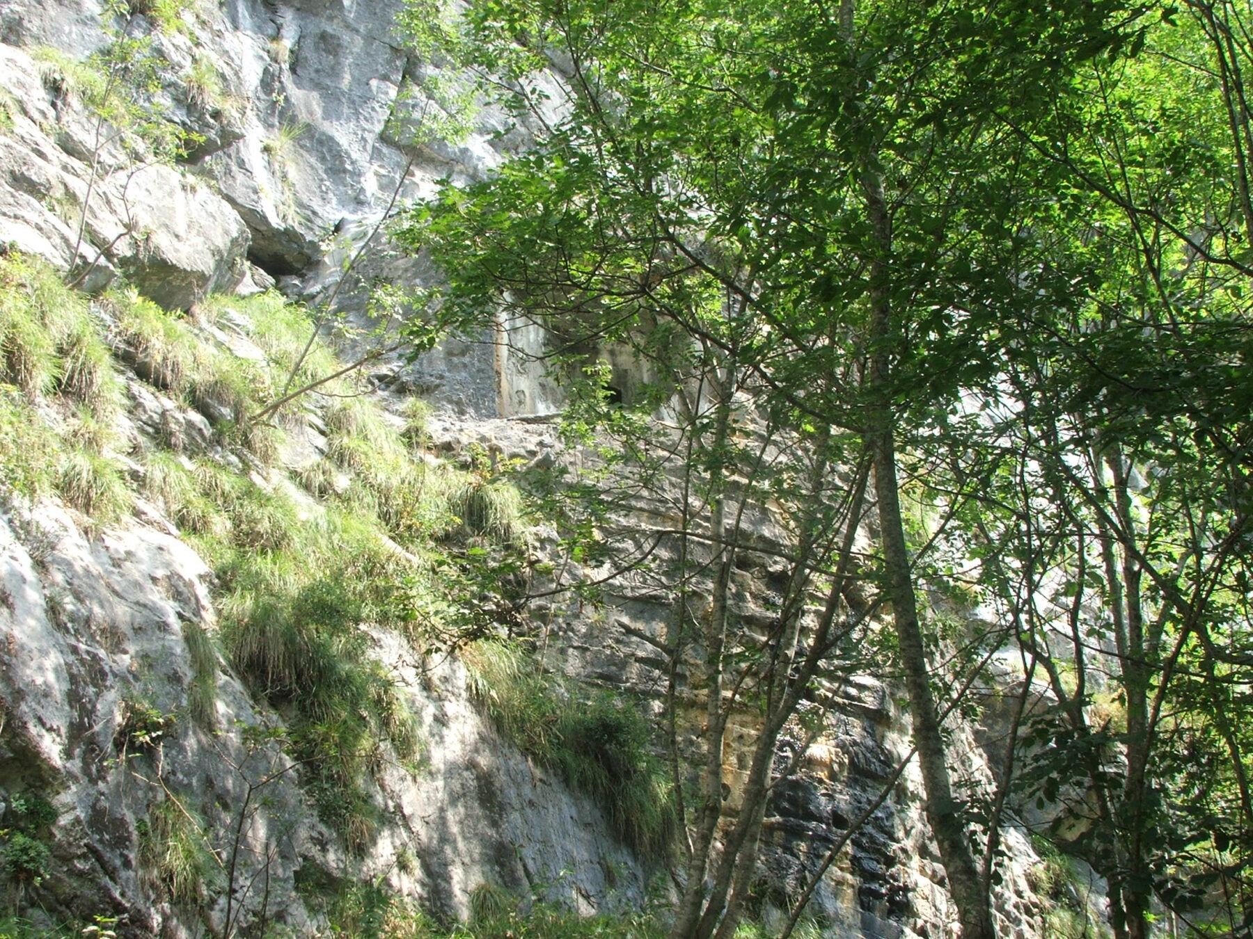
Continuing the path along the vertical wall of Monte Gamspitz you reach a detour to the right that leads to the entrance to one of the cavities that go to make up the karst system of the Timau Caves. This system develops on several levels in rocky masses made up …
Read more Entrance to the underground system of the Timau Caves
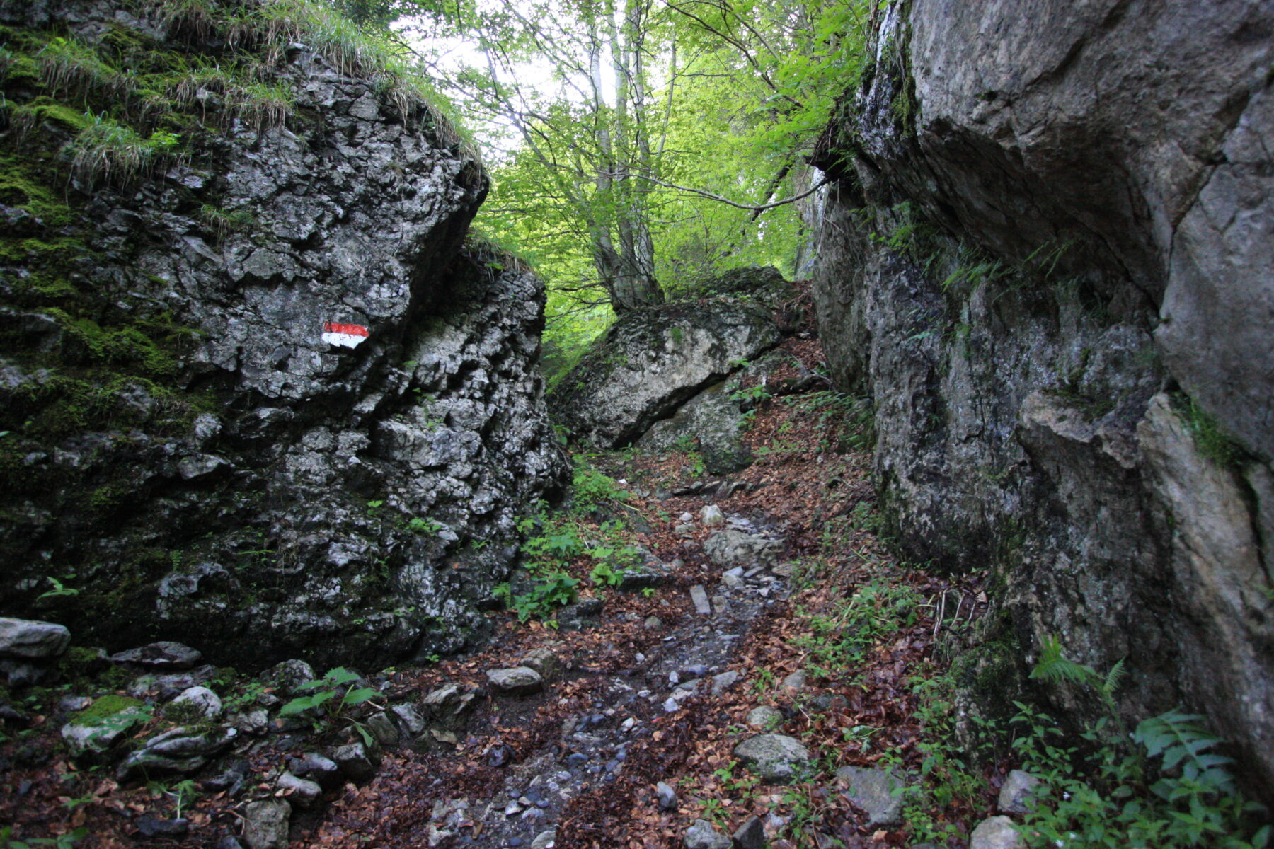
From the point where the path curves towards the north-east, the itinerary leaves the massive, pale limestones of the Devonian and continues within the Hochwipfel Formation, made up here of outcrops of easily-flaking, dark shales and siltstones. These rocks were formed during the Lower Carboniferous, a period characterized by strong …
Read more The Hochwipfel Formation
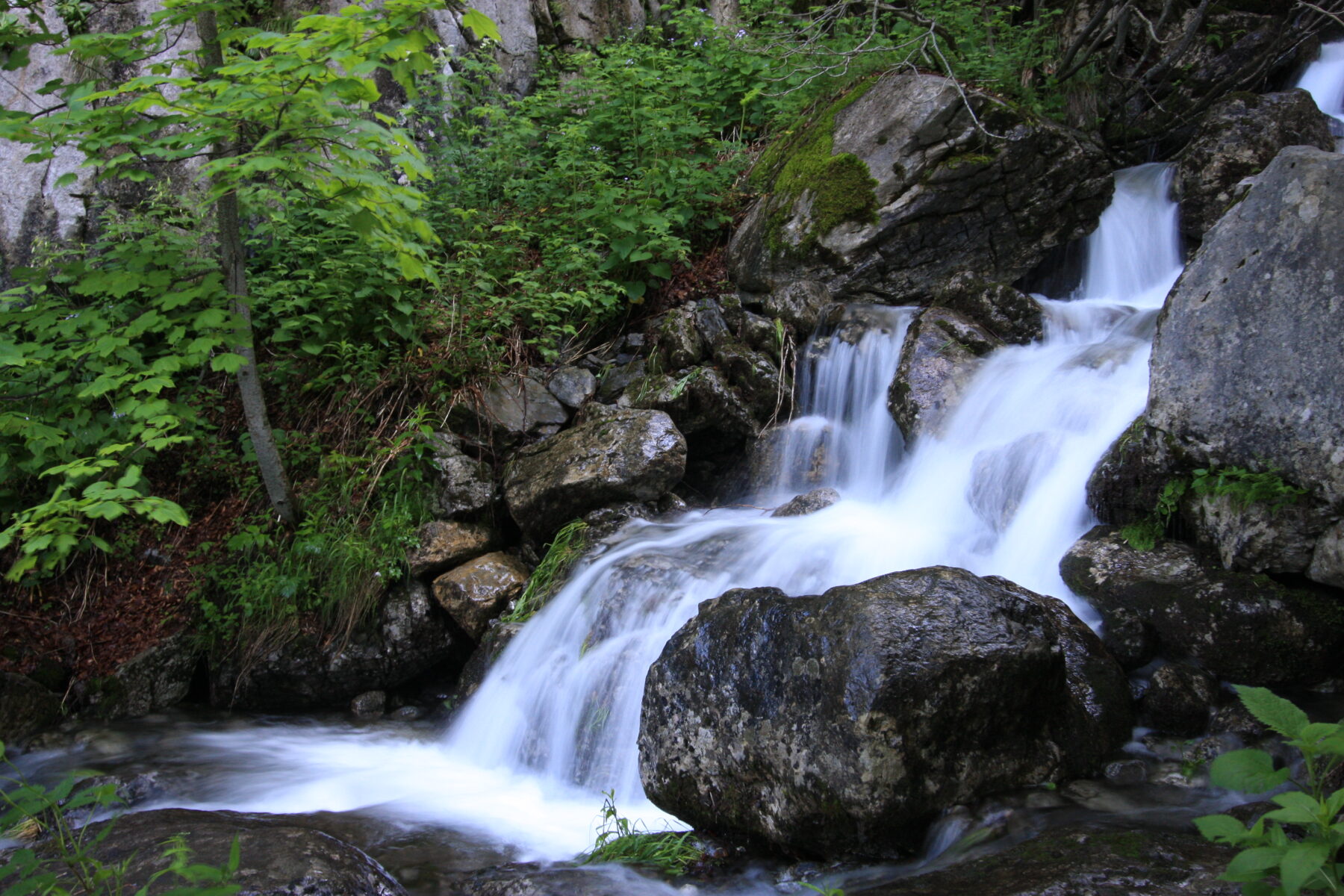
Here the route crosses the Rio Gaier (in the locality named Ponte sul Gaier). The erosive action of the stream on the dark, stratified rocks of the Hochwipfel Formation is evident. These rocks are more erodible than limestones and in some places the torrent’s incision takes the shape of the …
Read more The torrential incision of the Rio Gaier
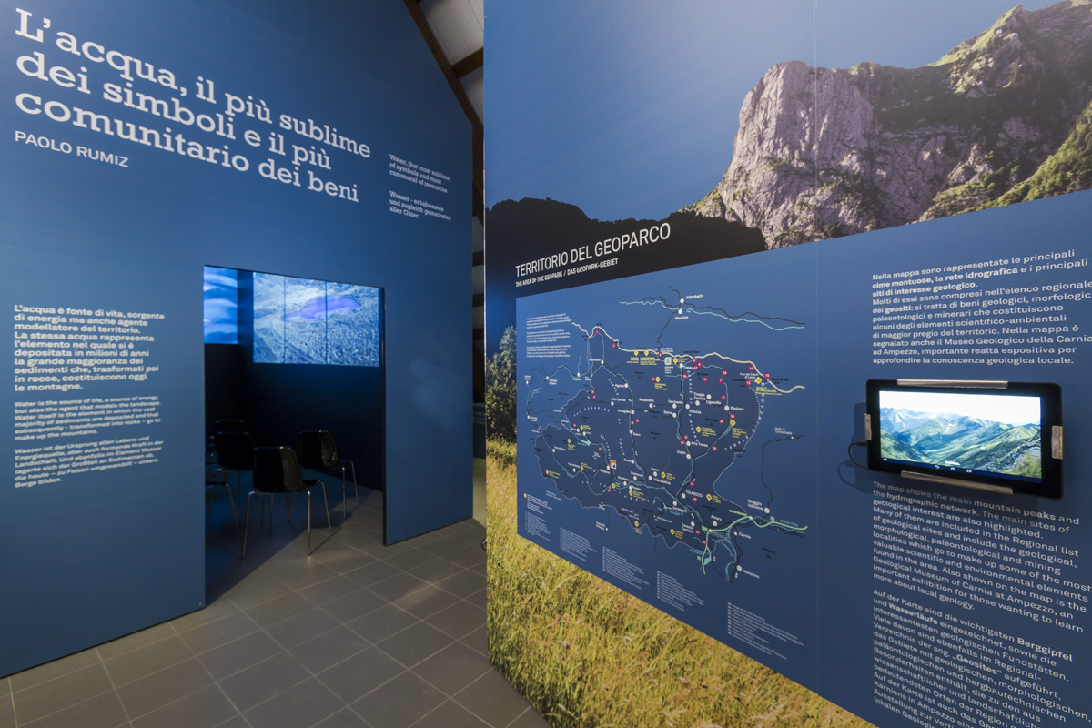
Once you reach the SS52bis you arrive at the Geopark Visitor Centre in the locality named “Laghetti”. This locality owes its name to the ancient presence of a palaeo-lake in the area upstream of the town of Timau, the origin of which was linked to the presence of postglacial landslides. …
Read more The Visitor Centre of the Carnic Alps Geopark
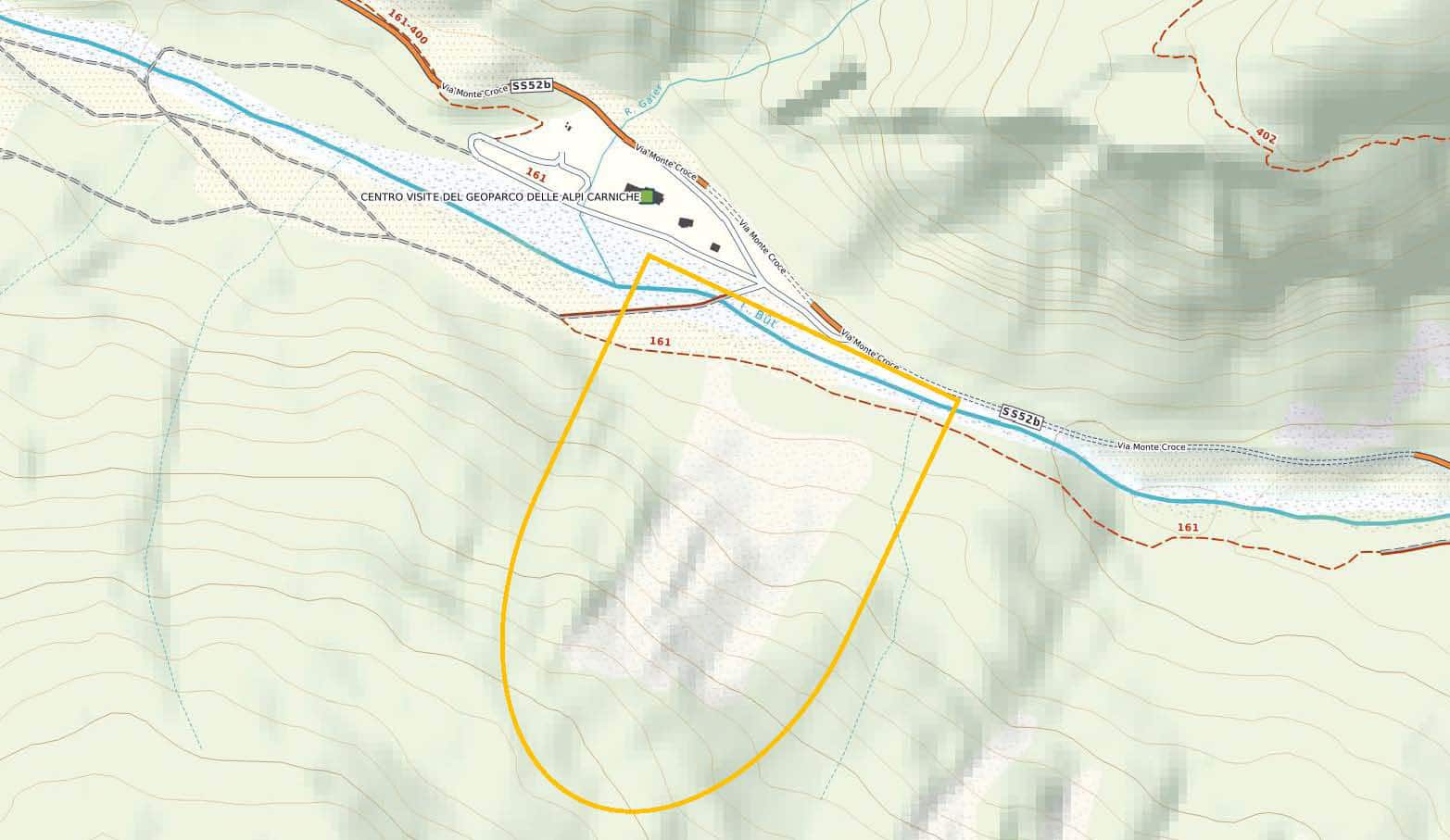
Beyond the Visitor Centre, the Masareit landslide is clearly visible on the right, affecting the northern slope of Monte Terzo and the effects of which extend to the Bût Torrent, in the area of Laghetti. It is thought that the collapse of the rocky slope, involving about six million cubic …
Read more Masareit landslide