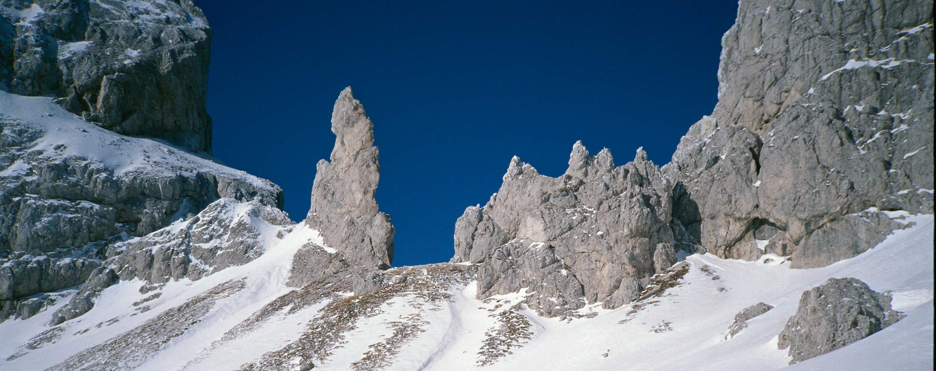
What is a Geopark?
A European geopark is a territory that possesses a particular geological heritage and a development strategy supported by a suitable European programme to promote such development. It must have well-defined boundaries and an adequate expansion to enable an effective economic development of the area.
The 1972 UNESCO Convention
In Art. 2 of the 1972 UNESCO Convention on the Protection of the World Cultural and Natural Heritage, dedicated to the definition of “cultural heritage”, it cited “the natural monuments consisting of physical formations or of groups of such formations, geological and physiographic formations”.
Over the following decades, several international protection programmes, documents and guidelines (the classification drawn up in 1994 by the World Conservation Union, the UNESCO Man and Biosphere – MAB programme as well as many others) foresee measures aimed at preserving territories that also represent important sites from a geological point of view.
The GEOPARKS programme
Following the launch of the GEOPARKS programme carried out by UNESCO in 1998, in 2000, the first Geoparks in Europe were effectively activated. In fact, the European Geoparks Network consists of four protected areas in 4 different countries: The Petrified Forest on the Island of Lesbos in Greece, the Haute-Provence Geological Reserve in France, the Vulkaneifel Geopark in Germany and the Maestrazgo Cultural Park in Spain.
Several initiatives have originated from the collaboration between these 4 Geoparks: ranging between the promotion of geotourism to environmental education in the geological sector, from professional training to scientific research.
To date, the European Network consists of 69 Geoparks in 23 countries.
Finally, in 2004, under the aegis of UNESCO, the Global Geoparks Network was established.
Italian legislation
Italian legislation does not provide a precise definition of what a Geopark is: therefore, on a national level, reference is generally made to the indications given by the European Geoparks Network.
In 2016 The Autonomous Region of Friuli Venezia Giulia issued Regional Law n. 16 containing “Provisions for the preservation and enhancement of geodiversities, geological and speleological heritage and Karst areas” that, among its other objectives, also includes:
The acknowledgement of the public interest in the preservation and enhancement of regional geological and speleological heritage
The establishment and updating of the regional registry of regional Geosites and Geoparks
The promotion of the dissemination and public use compatible with the preservation of the heritage asset as well as the educational and tourist use of the locations of geological and speleological interest.
Legislation in Austria
Austrian legislation, in turn, has not yet acknowledged the indications of the European Union by means of a law that defines geoparks; however, three geoparks with at least part of its site located in an Austrian territory already belong to the European Geoparks Network.
These also include the Geopark Karnische Alpen, or rather, the Austrian side of the Carnic Alps Cross-border Park, a Geopark that has already been recognised by UNESCO.
In the absence of specific legislation on the topic of geological heritage, also in Austria reference is made to European legislation, above all as regards protected areas (Natura 2000, landscape protection, natural monuments etc.).
LINKS
EUROPEAN GEOPARKS
www.europeangeoparks.org
ISPRA AMBIENTE
www.isprambiente.gov.it
MAPS & DOWNLOAD
WEBGIS
MAP
Download the Map of the Transboundary Geopark of the Carnic Alps