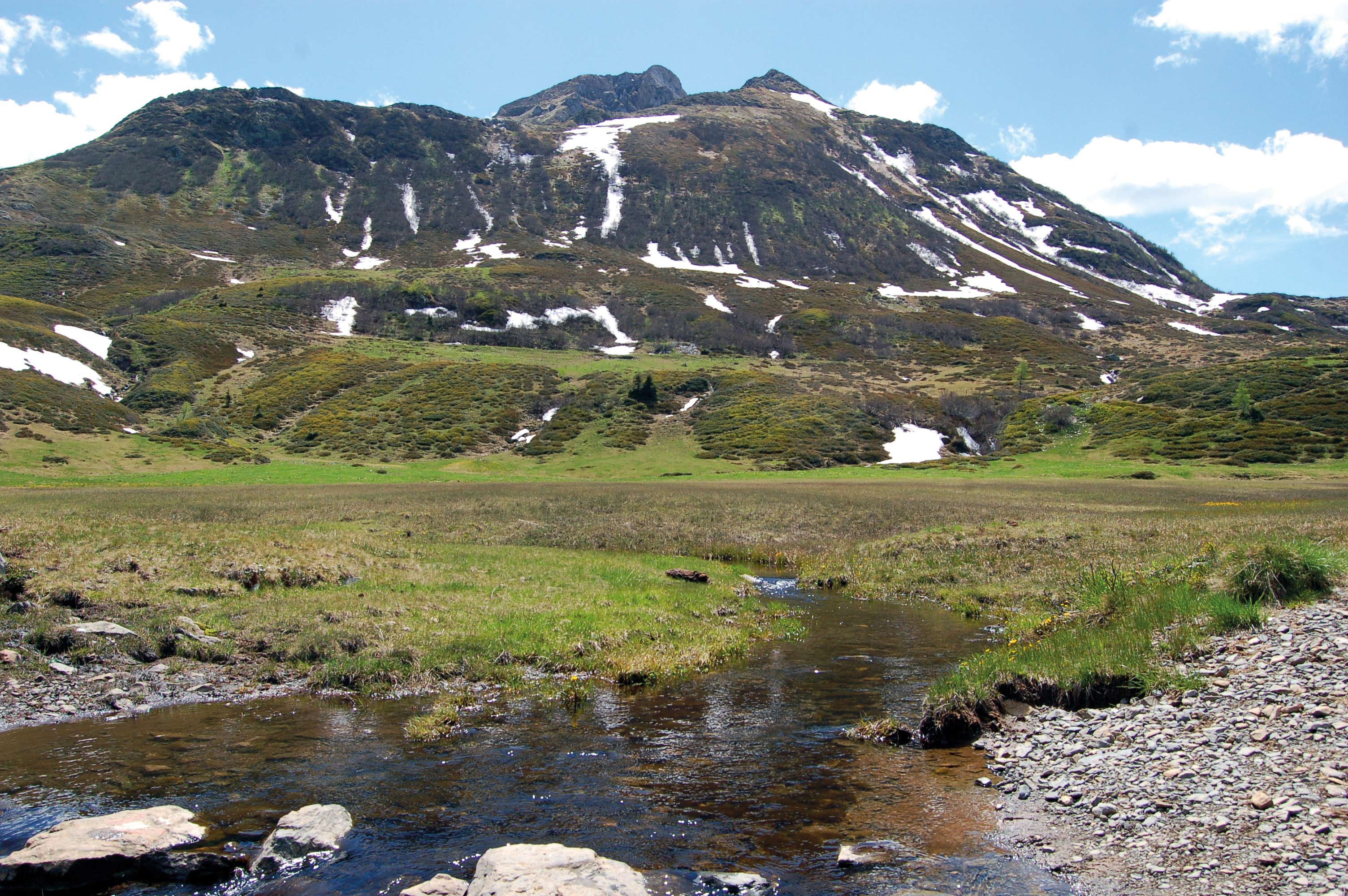
This site is located on the edge of a moor – a frequently encountered landscape feature in the Zollner region. Moorland is created from an accumulation of peat or dead plants which have not fully decomposed due to constant waterlogging. The impermeable quartz rock below the moor and high levels of rainfall totalling more than 2,000 mm per year are responsible for this waterlogging. Typical moorland plants include peat moss and cotton grass. The products of their decomposition (humic substances) and iron minerals contained within the rock cause the brown colour of the brook. Pollen analyses have shown that there was a lake here some 3,000 years ago which silted up over the years to form the present moorland. When moorland is still being influenced by lake or groundwater, we refer to it as fen. Over time, moorland builds up and becomes a bog. When this happens, the moor only obtains water from precipitation. One of the typical features of this kind of moorland is its domed surface. In places, this moor is more than 2 metres thick and it is in a transitional stage.
Search
Recent Posts
- Water, Air, Earth, Ice / When Natural Events Become Disasters
- The temporary exhibition “The Wonders of the Underworld – Ampezzo, 20th June 2020
- The Geological Museum in Ampezzo opens next Saturday
- The temporary exhibition “Fossil fish from the Friulian Alps” opens again
- Coronavirus Emergency – extraordinary closing