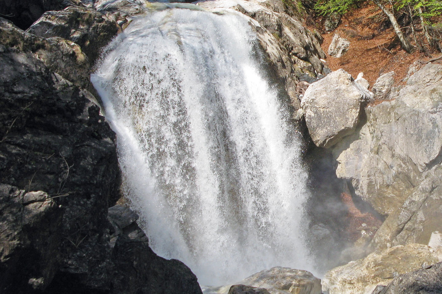
At this stopping point, from the Ida look-out point a waterfall can be seen rushing down over the light grey banded limestones. Below the waterfall, the limestones come into contact with the much weaker schists along a fault line. Such a fault results in a weakening of the rock structure as the rocks are moved against each other. The schists and the fault run in an east-west direction. They thus force the water flowing from the south to turn eastwards as the schist rock possesses less resistance to water erosion than the compact limestone.
Above the Ida look-out point, the water used to flow from south to north diagonally through the schists. Higher up it took an east-west course, following the schists and the fault line, just like it does below the Ida look-out point. How can we now explain these two different directions when the rock types are all the same?
In addition to the rock and its inclination, fissures in the rock also influence the flow of water. In the Garnitzenklamm gorge, the banded limestones reveal densely spaced fissures running north-south. They may well have been responsible for the first striking shift in direction from east-west to north-south.