Malborghetto
Cross-border Geotrail Pramollo-Nassfeld
BackA journey through the forests and low seas of the Late Carboniferous
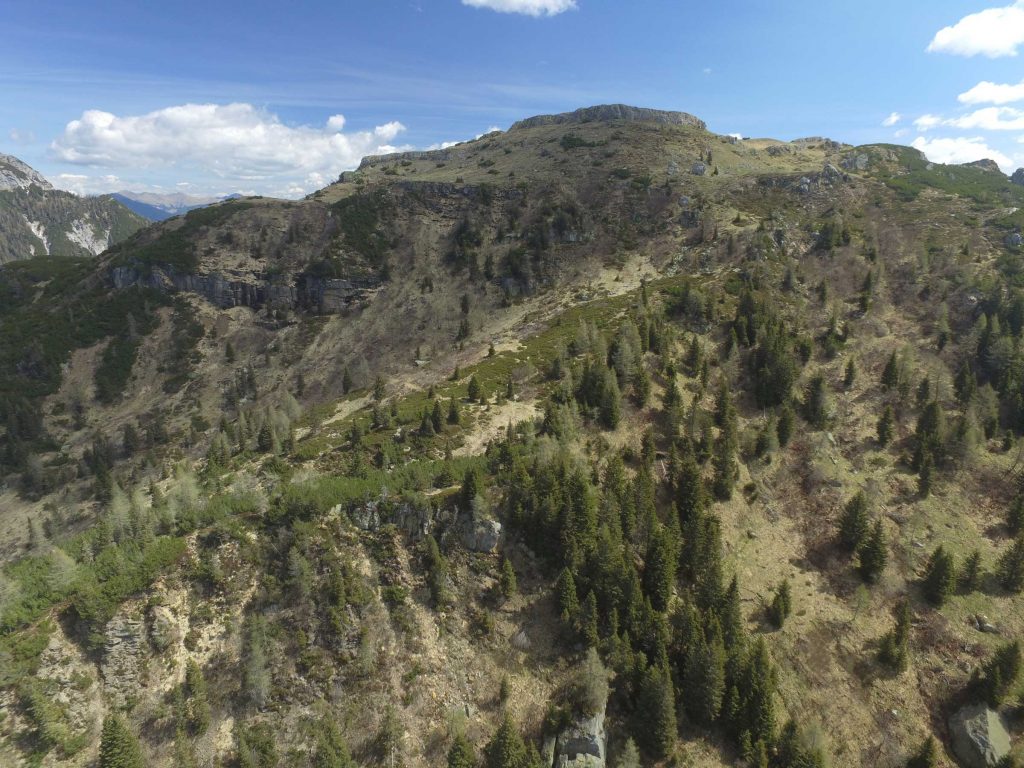
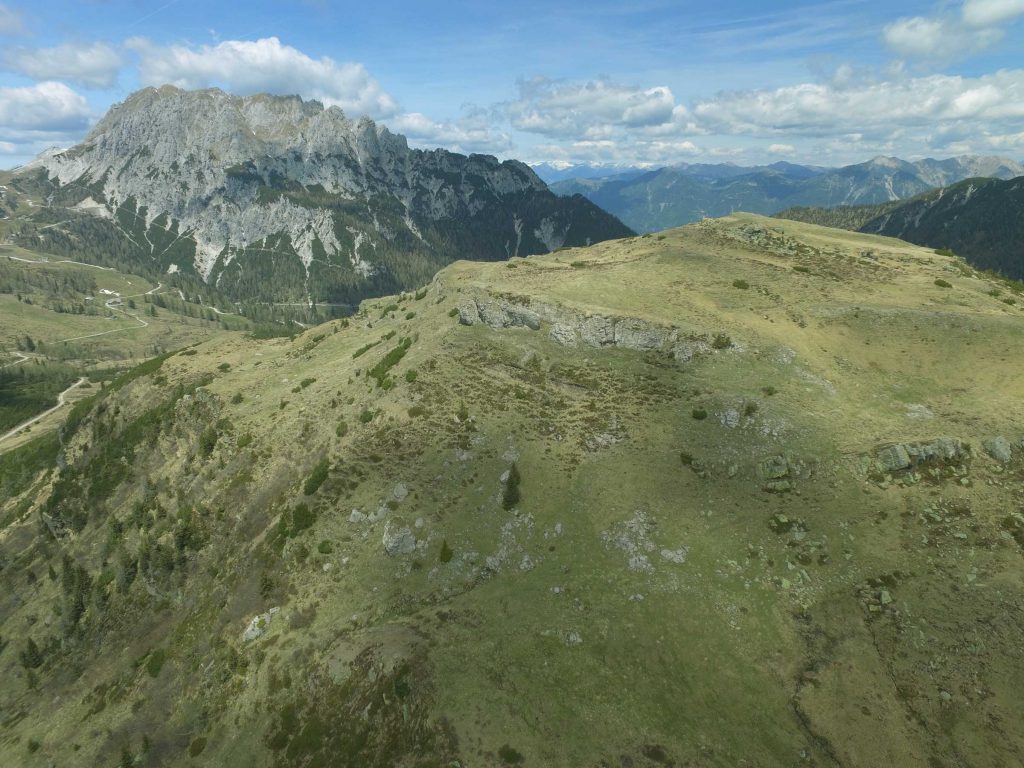
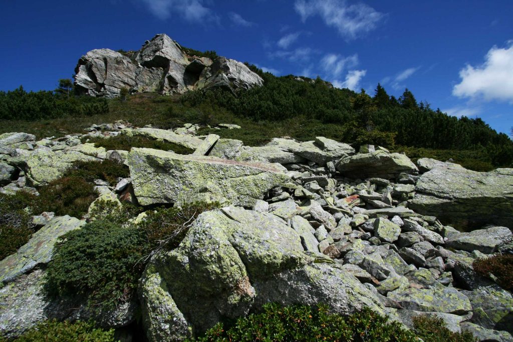
The Pramollo-Nassfeld cross-border Geotrail allows observing in detail the sedimentary rocks deposited at the end of the Carboniferous, the penultimate period of the Paleozoic Era. The Pramollo section, located between the Italian and Austrian border, is internationally known for its sedimentary rocks rich in marine and continental fossils. They testify to the changes that took place in this area, which was cyclically turned from a marine to a coastal environment and then to a deltaic one. This was due to the periodic rise and lowering of the sea level regulated by an ancient glaciation.
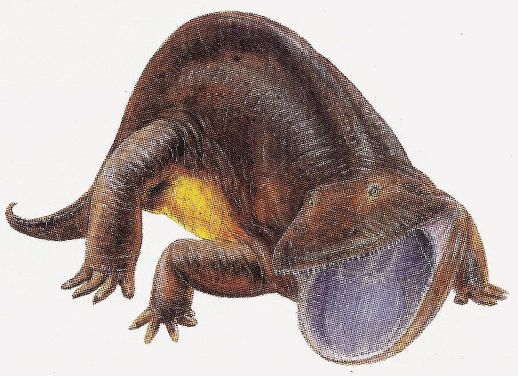
The fossil remains of plants (such as huge tree ferns) that formed extensive forests (whose accumulations also generated small coal deposits exploited in the past), the footprints of large amphibians and even the records of terrestrial arthropods such as scorpions, are unique in the world.
The Cross-border Geotrail includes ten Geostops, which are observation points from which it is possible to briefly retrace the ancient history of the Pramollo section: its rocky succession, called Permo-Carboniferous Pontebbano, was deposited between 310 and 275 million years ago, after the end of the Ercinic (or Variscan) orogeny.
Information
- Difficulty:
- Moderate
- Length:
- 10,7 km
- Difference:
- 870 m
- Season:
- June - September
- Recommended equipment:
- It is advisable, given the length of the geotrail, to pay attention to the rapid weather changes typical of high altitude, and be equipped with clothing suitable for sudden rains and low temperatures even in summer.


How to use the map
The interactive altitude map allows you to visualize, on the geographic map, the variation of the altitude of the trail as it develops; drag the map from left to right to see the direction in which the trail must be followed.It is possible to change the size of the zoom by clicking on the buttons in the top left-hand corner, while the center button allows you to restore the initial settings; finally, you can choose a different map by clicking on the button in the upper right-hand corner.
-

1Ancient fluvial-delta gravels
Just before Casera Auernig a very particular grey conglomerate emerges: its calcareous pebbles were created by the ancient erosion of a narrow and long rocky promontory that suddenly emerged from the sea due to active faults. Today it roughly coincides with the area that includes Valbertad - Rio Secco Crete – Mount Cavallo – Mount Malvuerich – Mount Bruca. The grey conglomerate (composed of ancient fluvial-delta gravels) is also associated with light grey sandstones, characterized by layers with a thickness of a few tens of centimetres that overlap for many meters. They can be seen on the small rocky ridge just east of the smaller building of the Casera Hut. The layers of light sandstone are also produced by the erosion of the Devonian limestone rocks of Mount Cavallo – Mount Malvuerich. These are ancient delta deposits spread from the rocky promontory into the sea towards the current Auernig and Carnizza mountains.
-
2Calcareous algae boulders
Between the Casera Auernig and the base of the mountain of the same name, there is a large number of large boulders distributed on both sides of the mule track. They collapsed from the steep slope of Mount Auernig in an unknown time, certainly after the Quaternary ice had freed this sector (between 18,000 and 15,000 years ago). Two very different types of rocks can be identified in the boulders: quartz pebble conglomerates and light grey algal limestone. The former correspond to fluvial-delta deposits, the latter are exclusively marine sediments. In the latter, it is possible to observe fragments of calcareous seaweed that look like a tube (Dasycladaceae), and that can reach up to a few centimetres in lenght. The two types of deposit represent the typical rocks of the banks of the Pramollo rocky succession, deposited around 300 million years ago.
-
3Traces of oil in blackish limestone
Here, where a small stream crosses the mule track, it is possible to observe a bank of algal limestone still not collapsed. The limestone is blackish in colour, in contrast with the mostly clear one of the Pramollo succession. When struck, this limestone releases a characteristic odour of bitumen. The odour and the blackish colour indicate that the bottom of the lagoon, where the algal fragments (thalli) were deposited with mud, was devoid of oxygen: the organic particles that accumulated together with the algal limestone did not undergo putrefaction. For this reason, today these rocks contain traces of "crude oil": this is the ancient organic matter, which had been cooked underneath the earth's crust with the passage of geological ages.
-
4The oldest terrestrial vertebrate discovered in Italy
In this stretch of the mule track, a block of rock was found with an amphibian footprint dating back to the Upper Carboniferous: it is the most ancient finding referable to a terrestrial vertebrate discovered in Italy.
Towards the mountain, the deep incision of a stream has highlighted a succession of rocks in thin layers alternating with occasional banks, both of quartz conglomerate and of light grey algal limestone. The thin layers represent ancient stratified sands and muds that time cemented and turned into sandstones and shales. These sediments were transported by ancient rivers that flowed from north-west to Southeast and poured their solid cargo (sand and mud) into a shallow sea. The granules and particles accumulated in successive layers on the seabed, not very far from the line of a delta. -
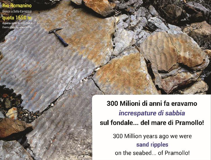
5Ripple mark rocks
At this point another stream flows, which affects the rocky succession of the Upper Carboniferous and exposes it. You can see the large surface of a layer of sandstone about 15 meters lower than the mule track. The layer is still horizontal, and its surface forms a series of symmetrical and parallel ripples. These are small "sand ripples", 1-2 centimetres high, generated by the movement of sand on a seabed just a few meters deep. Their symmetrical pattern reveals that they were produced by oscillating wave motion and not by a current. All this happened around 300 million years ago. It would be worthwhile to reach it, but some caution is required.
-
6Ancient algal banks
This section crosses the sandstones of the Corona formation along the border area. The layers are rich in plant remains and represent an ancient delta plain environment.
A few ten meters north along the steep path, it is possible to see the only calcareous bank present on the 320 m of this formation. It is only 60 cm thick, and due to the alteration, it is yellow on the surface (but dark inside). A few millimetres wide algal tubes (thalli) of Dasycladaceae form it. Some are still gathered in undamaged tufts shaped like the fingers of one hand. The sea, raised by a partial fusion of the ice cap, invaded the delta areas, pushing the ancient coastline inland for many kilometres. Algal limestone settled on the delta, now replaced by the sea.
-
7Storm deposits
The rocks at this stop are fine sandstones with characteristic "gibbous", fusiform stratifications. The sands of the seabed were stirred by storm waves every time a weather front passed over the area: the stratification that in these cases resulted was typical of the so-called "storm deposits", capable of moving the sandy granules of the seabed. Finding, as in this case, many overlapping storm layers suggests a low seabed, maybe just ten meters or so deep, as every storm, big or small, left its mark.
At a short distance, you can see another rocky wall that is a couple of meters high, where some layers of fine sandstone with intensely convoluted laminae are clearly visible. The deformation was apparently caused by an intense seismic shock while the sediment was still soft and not cemented. -
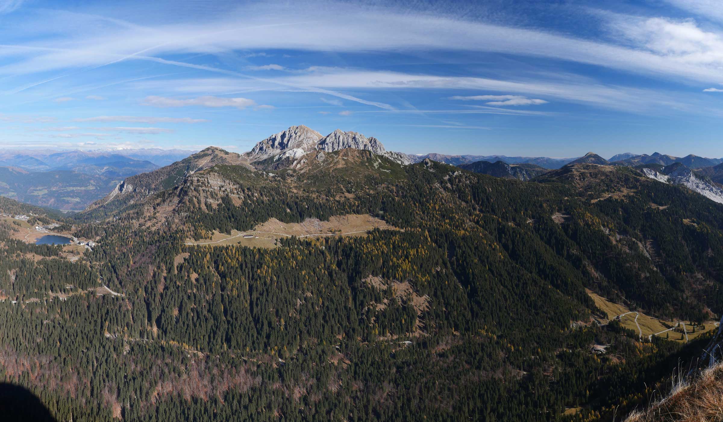
8Signs of a fault on Mount Gartnerkofel
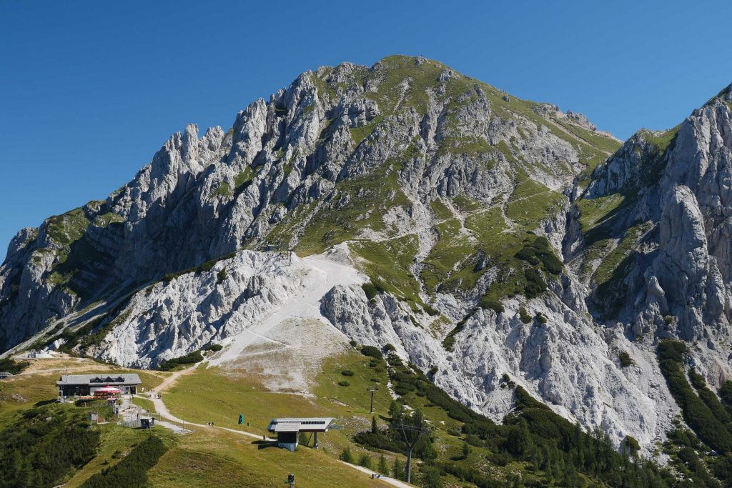
Looking north, the majestic remains of an organogenic cliff dating back to the Middle Triassic (Ladinic) rise in the distance. Today these rocks form the Dolomite massif of the Gartnerkofel (2195 m). At the base of its southern wall the rocks of the Pramollo succession develop, they were deposited about 70 million years ago. The two successions, respectively from the Triassic and the Upper Carboniferous periods, are connected along an ancient vertical fault. The fault was created many millions of years ago, initially by lowering by hundreds of meters the sector of the Gartnerkofel compared to that of Pramollo. In more recent times, powerful horizontal movements were added. The activity of this fault fractured and disrupted a layer of fragile dolomitic rocks that were many tens of meters wide. The presence of this tectonic surface can be recognised from afar due to the characteristic light coloured debris that marks its development.
-
9A huge”water spill” from the sandy Carboniferous marine sediments
This last section, between the Gartnerkofel and Mount Carnizza, goes through the same Carboniferous rocks present at Mount Corona. Here, unlike Mount Corona, they are sharply southward tilted. It is because of the various and numerous Alpine faults that separate the two rocky masses. Moving for a short distance along the path that descends from the summit of Mount Carnizza towards Mount Corona, you can reach a wide sedimentary structure, visible just below 1900 m. It bears witness to a gigantic "water spill" that occurred from the sandy marine sediments of 300 million years ago. The weight of the sediments applied pressure on the deep deposits and the water contained between the sand granules was squeezed upwards. Going upward, it broke and bent the still soft upper layers, which were already compact but not cemented.
-
10Fusulinid-bearing limestone pebble conglomerates
The steep path that leads to this stop develops in a low bush and at times presents banks of quartz conglomerate (fluvial-delta environment) and algal limestone (marine environment). Among the latter, there is a very characteristic one: it is only 80 cm thick and is formed by billions of fusulinid shells, one on top of the other! These are single-celled organisms with a fusiform carbonate shell that can reach over 1 cm; they were extinct at the end of the Permian. Another peculiarity of this fusulinid bank is that all the shells are silicified: the silica has chemically replaced most of the calcium carbonate of which they were originally made. It is believed that to form such particular calcareous bank the fusulines either were exterminated by a very violent storm, or by temporary lack of oxygen in the water, perhaps connected to an abnormal and pervasive algal proliferation.